Services
Best Services!
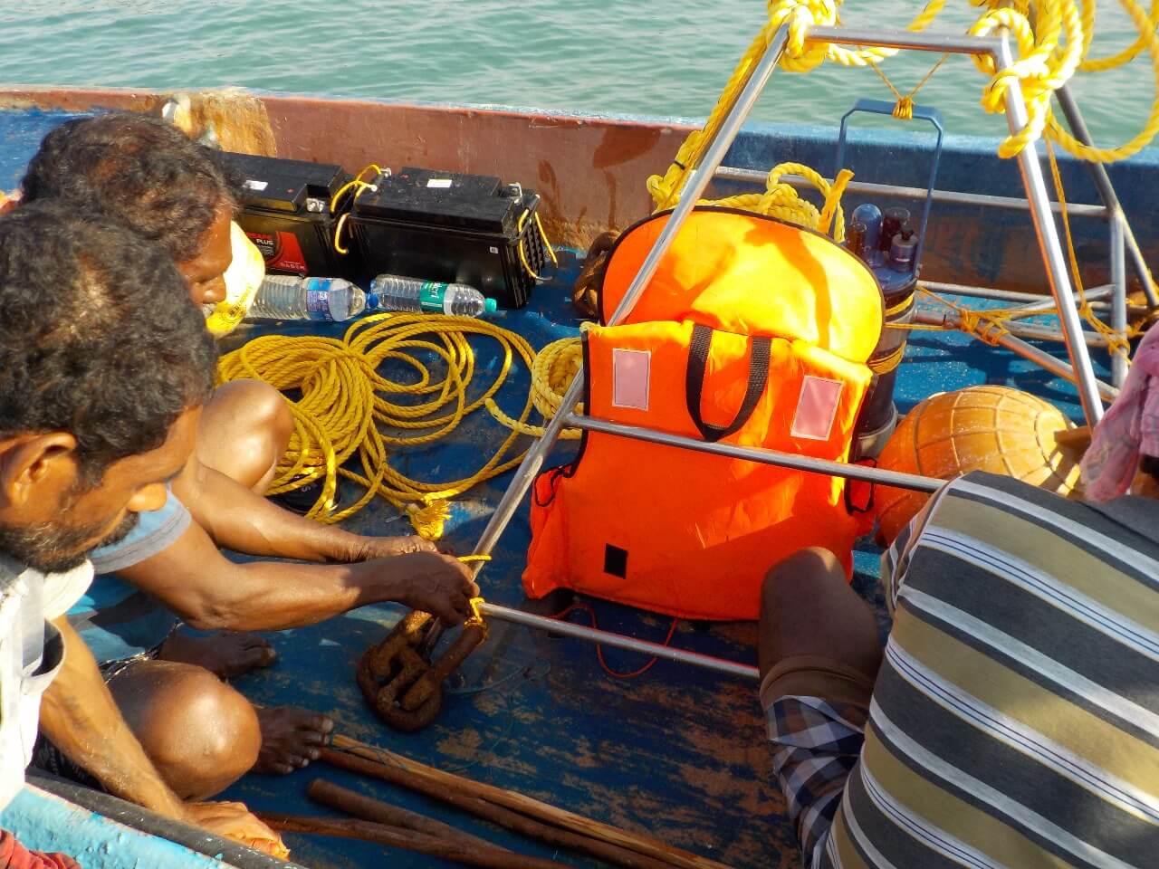
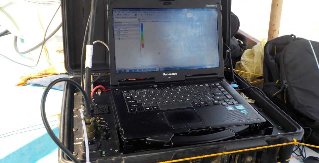
- Ocean Survey
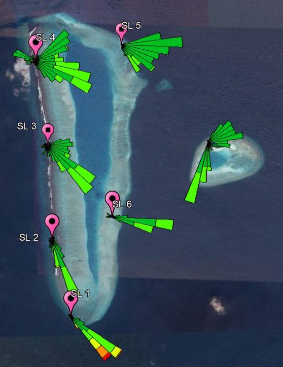
Seven Seas survey seabed mapping, navigation clearance surveys, tide observation, dredge surveys, side-scan sonar surveys, seismic profiler surveys, HTL and LTL changes, and oceanographic parameter measurements such as current, tide, and waves - GIS and remote sensing
Seven Seas makes breakthroughs in geological mapping, data analysis and interpretation, shallow bathymetric mapping, and profiling in the marine environment. - Numerical modelling
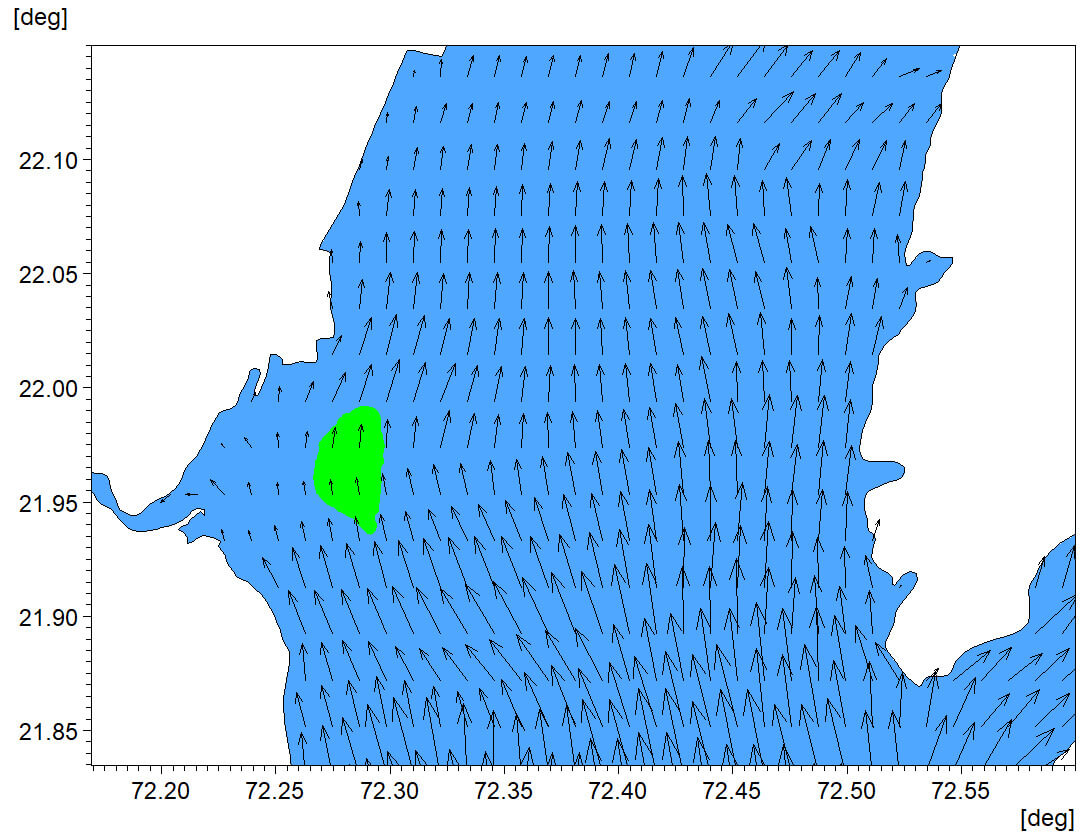
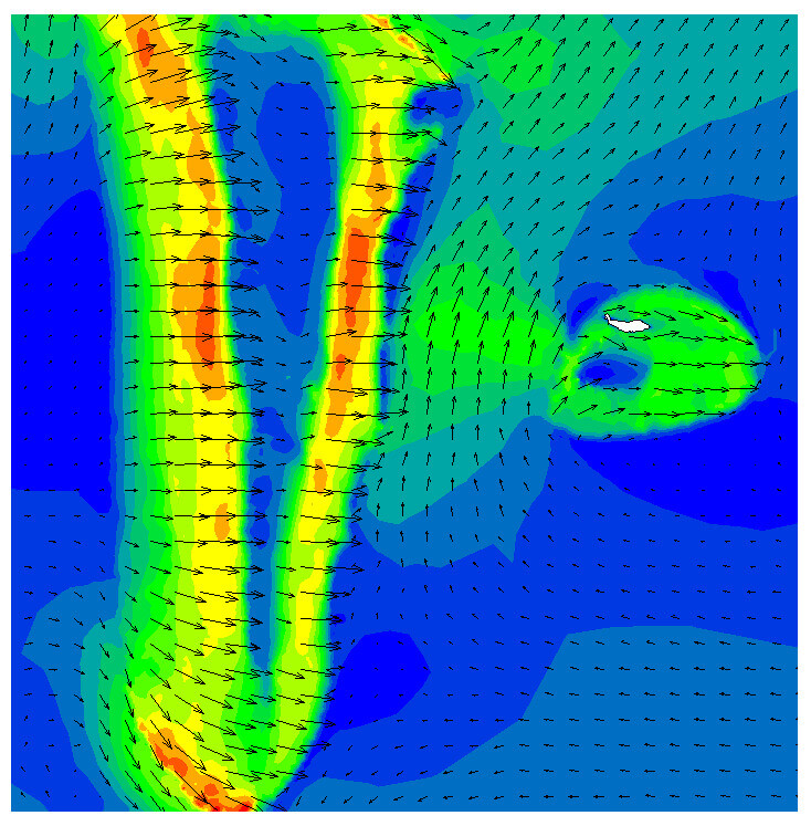
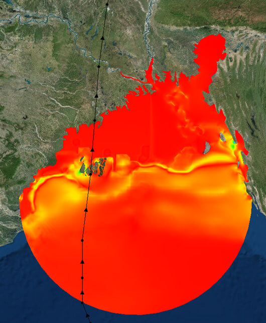
Seven Seas has undertaken numerous consulting projects using the numerical modelling of Mike21 (HD, SW, ST, PARTICLE TRACKING, and ECOLAB), ADCIRC+SWAN, TELEMAC, WAM, DELFT3D, HEC-RAS, and GNOME, etc., to study storm surges, flow field conditions, wave dynamics, an advection-dispersion study for brine discharge, carbon dynamics, morphodynamics, disaster management plans, waste disposal, energy management, oil spill prediction, and shoreline management.
7SEASOCEANSERVICES
OCEAN SURVEY CONSULTENCY
Ocean modelling
- Seven seas modelling solutions deliver precise and extensive oceanographic information to our clients.
Risk assessment
.
We examine the hazards connected with maritime operations and make advice our clients on how to manage these risks effectively.
Environmental impact assessment
We conduct environmental impact assessments for businesses and organizations to guarantee that their operations are in accordance with environmental regulations.
+Add Row

Experienced Company
Who Never
Let You Down!

